The Multnomah County Board of Commissioners on Thursday convened a first reading and public hearing on a proposed overhaul of the county’s rural land use and
Recommendations include maintaining the current density limits, studying whether to limit development on seismically unsteady land, improvement for bike travel on rural roads.
The Comprehensive Plan guides rural growth and development in unincorporated Multnomah County, land use planning outside the urban growth boundary. The region includes more than 33,000 acres of Columbia River Gorge National Scenic Area, much of Sauvie Island and the West Hills.
The plan seeks to support the preservation of wildlife and habitat, farms and forests, rural communities and inclusion and diversity. To that end, the revisions direct planning on transportation and health, sustainability and emergency preparedness, using county initiatives including the Health Equity Initiative, the Equity Lens and the 2015 Climate Action Plan.
A 16-member advisory committee, convened in 2014, has met more than 30 times times, held public hearings and met with community groups. Chair Deborah Kafoury said during a preliminary briefing last week that she’s received a lot of feedback on the plan. But no one has complained about feeling excluded from the process.
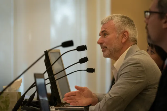
“You’ve done an outstanding job,” she told county planners Rich Faith, Joanna Valencia and Michael Cerbone.
The advisory committee recommended maintaining limits on density and limits on auxiliary dwelling units in rural Multnomah County.
The committee also proposed further study on whether to limit development on land at high risk of landslide or liquefaction in the event of an earthquake. Landowners or potential buyers can already find out about those risks by visiting the county’s land use and planning office. If the board votes to adopt the plan, it would not trigger limits. Rather it would allow further study of whether such limits would be beneficial.
The plan includes a recommendation to invest in measures that make roads safer for cyclists and promote bike tourism in the region. Many of the county’s less-traveled roads have little to no shoulder, making it difficult for bikes and cars to share the lanes.
“This is exciting,” Commissioner Diane McKeel during last week’s briefing. McKeel’s district covers much of the county’s rural east, including popular bike routes and Multnomah Falls. “This is a very important issue for me,” she said.
Planner Rich Faith told the board that his staff had received comments from 29 people. A dozen of those wrote to oppose a recommendation that the county consider limiting development in the West Hills. People were concerned, they wrote, that the limits would result in higher appraisal values and therefore higher property taxes.
Bailey told testifiers Thursday that the assessor’s office confirmed any scenic overlay would not change the assessed values of properties within that overlay. He also reiterated that any recommendation would be for further study and consideration, not direct adoption.
Bailey also proposed amendments to the plan to emphasize a study on alternative routes for freight traffic on rural roads and discourage through traffic on local rural and rural residential roads.
“This is a huge amount of work,” he said. “I think we heard in the comments that one of the primary challenges is balancing recreation with conservation and natural resources.”